
GPX Track Creator: Create and Edit GPX Tracks for Cycling Races

Published by MB in Sport - Timing · Fri 17 Jul 2026 · 2 minutes
Tags: GPX, Track, Creator, tracciati, GPX, eventi, ciclistici, eventi, podistici, cronometrare, creare, percorsi, modificare, percorsi, profilo, altimetrico, mappa, organizzazione, eventi, sport, outdoor
Tags: GPX, Track, Creator, tracciati, GPX, eventi, ciclistici, eventi, podistici, cronometrare, creare, percorsi, modificare, percorsi, profilo, altimetrico, mappa, organizzazione, eventi, sport, outdoor
GPX Track Creator: Create and Edit GPX Tracks for Cycling Races
The race route, drawn the way it should be
Anyone who organizes or times a cycling or running race knows the problem well: GPX files coming from local authorities, organizers, or on-site surveys almost always need fixing. Points too sparse on straight sections, missing or noisy elevation data, separate stages to merge into a single elevation profile, coordinates to correct by hand.
This concrete need — born on the field, while preparing events like the Trofeo Laigueglia and other races — led to GPX Track Creator: a GPX track editor that runs entirely locally, with an interactive map, real elevation data, and an elevation profile that updates in real time as you work.
A real use case: the elevation profile of a stage race
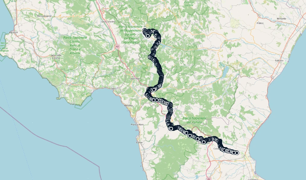
One of the most common uses is merging the GPX files of individual stages from a multi-stage race into a single overall elevation profile, without having to handle thousands of points by hand: GPX Track Creator lets you import multiple files, choose whether to link them as a continuous track or keep them separate, and automatically reduce point density while always preserving start, finish, and annotated points.
In short
- Draw and edit the route directly on the map, with point dragging and deletion
- Real elevation data from two sources: the Swiss 2-meter model (swisstopo) where available, Open-Meteo elsewhere
- Live elevation profile, with elevation gain/loss and min/max altitude visible at a glance
- Merging of multiple GPX tracks for a combined multi-stage elevation profile
- No installation required: a single executable, runs locally, no data uploaded online
All technical details and screenshots are on the

