GPX Track Creator - KM Service - Zeitmessung und Software für Sportveranstaltungen
Pagine indirette Windows
Windows-Anwendung.
Ihre Rennstrecke, so gezeichnet, wie sie sein sollte.
Ein Werkzeug für alle, die Rad- und Laufveranstaltungen organisieren und zeitnehmen: GPX-Strecken direkt auf der Karte erstellen, bearbeiten und verfeinern — mit echten Höhendaten, Live-Höhenprofil und allem, was nötig ist, um eine Strecke vom Entwurf bis zum Renntag zu bringen.
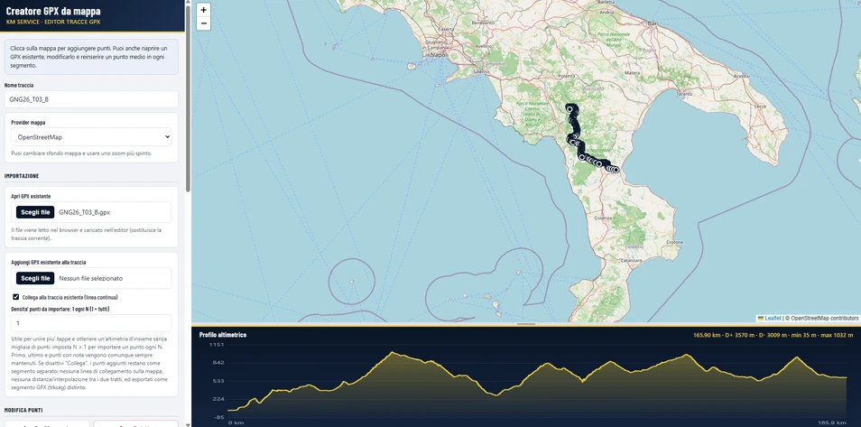
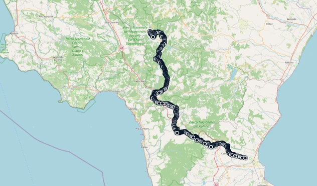
Direkt auf der Karte gezeichnete und bearbeitbare Strecke: klicken, um Punkte hinzuzufügen, ziehen, um sie zu korrigieren
Höhenprofil, das sich in Echtzeit aktualisiert, mit Höhenmetern (positiv/negativ) sowie minimaler/maximaler Höhe auf einen Blick

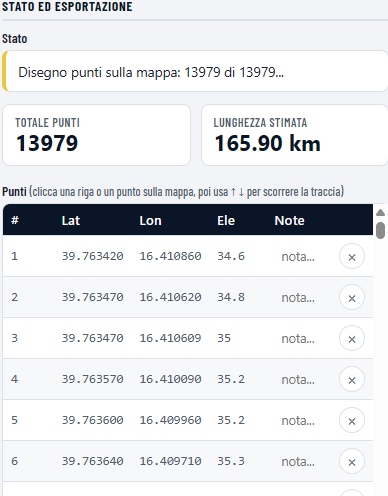
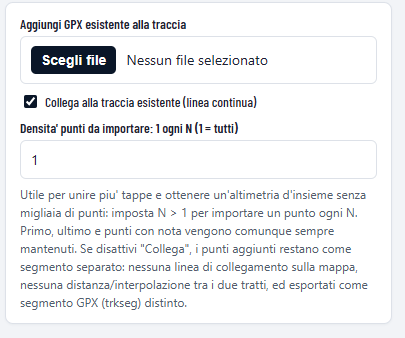
Import und Export bestehender GPX-Strecken, mit Zusammenführung mehrerer Dateien zu einer einzigen Strecke
- S.O.
- Windows 11
- Windows 10
- Geeignet für
- Organisatoren von Rad- und Laufveranstaltungen, Zeitnahme-Personal sowie alle, die GPX-Strecken für Rennen und Sportveranstaltungen vorbereiten oder korrigieren müssen.
- Kompatibilität
- Keine Installation erforderlich: eine einzige ausführbare Datei
- Läuft lokal — keine Daten werden auf externe Server hochgeladen
- Höhendaten mit 2 Meter Auflösung in der Schweiz (swisstopo), weltweite Abdeckung andernorts (Open-Meteo)
- Reaktionsschnelle Oberfläche auch bei Strecken mit Tausenden von Punkten
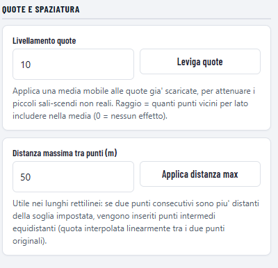
Automatisches Hinzufügen von Punkten auf langen Geraden und Höhenglättung mit einstellbarem gleitendem Mittelwert